|
MapCatalog | Order | Support | SiteIndex | Contact | Home | ||||||||||
|
|
|
|
|
|
|
|||||||||||
| N.America | 207 | |||||||||||||||

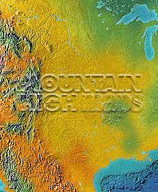
Mountain High Maps Catalog - USA Central
Map Specifications for USA Central
| Map identification: | 207 | Projection system: | Lambert's conformal conic |
| Map coverage: | USA Central | North boundary: | 49° 00' N |
| Image size (pixels): | 1,941 x 2,353 pixels | South boundary: | 25° 00' N |
| Image size (inches): | 6.47 x 7.84 inches | East boundary: | 88° 00' W |
| Image size (metric): | 164 x 199 millimeters | West boundary: | 111° 00' W |
| Resolution per pixel: | 900 meters | Horizontal scale: | 1:2,500,000 |
| RGB file size: | 13.2 Mb | Vertical scale: | 1:300,000 |
| CMYK file size: | 17.7 Mb | Vertical interval: | 91 meters |
| Grayscale file size: | 4.4 Mb | Vertical exaggeration: | 8.3 times normal |
|
Countries, states and territories: |
Arkansas, Colorado, Illinois, Iowa, Kansas, Louisiana, Minnesota, Mississippi, Missouri, Montana, Nebraska, New Mexico, North Dakota, Oklahoma, South Dakota, Texas, Wisconsin, Wyoming, Mexico, USA, |
||

|
| ||
|

| ||
|
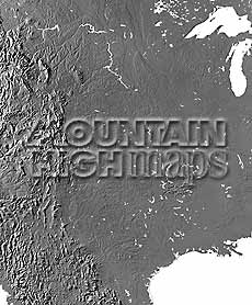
Top left: Elevation low-contrast relief rendering Top right: Vegetation high-contrast relief rendering Middle left: Grayscale land-only relief rendering Middle right: Political low-contrast relief rendering Lower right: Geo-political vector Illustrator EPS maps Inventory of maps and masks within each map portfolio
|
 |

| USA Central Map #207 - Buying Options |
||||||||
|
USA Central Vector only EPS map (bottom left map image) |
USA Central Relief/Vector Map (all maps on this page) |
America Continent Relief/Vector 16 Map Package |
Mountain High Maps Relief/Vector 78 Map Package | |||||
Any comments or problems with this
site? Please
let us know
- thank you!
© Digital Wisdom, Inc.